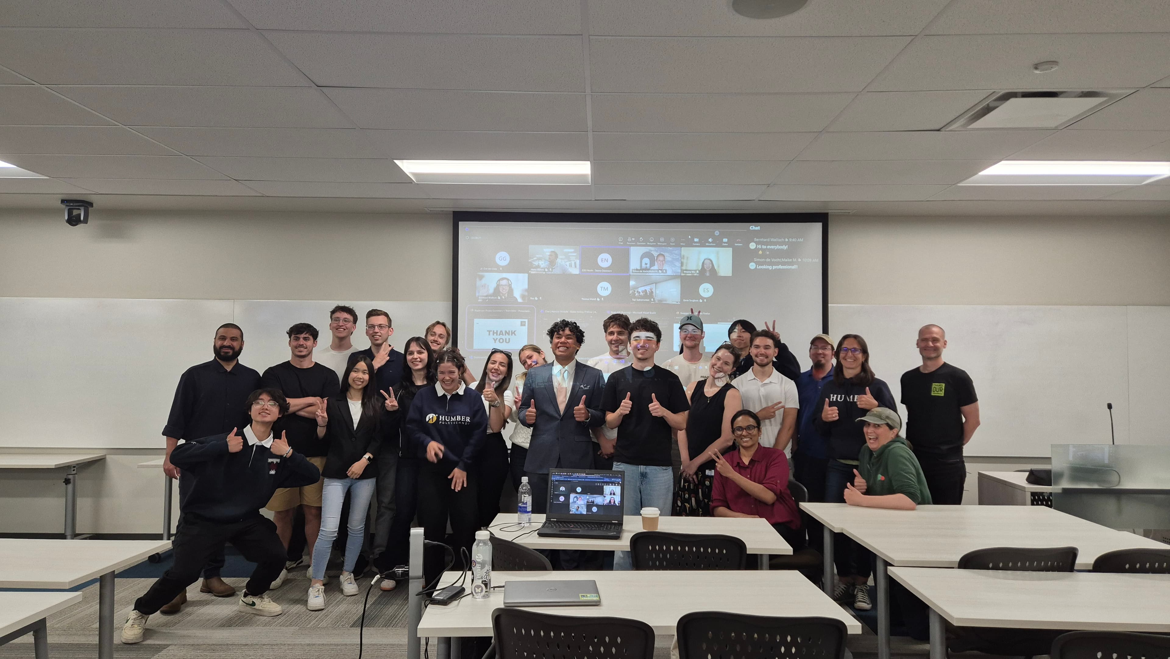
Global Acting in IT: Landscape Monitoring


An international minor involving 4 universities (Fontys NL, Technikum Wien AT, HMU GR, Humber CA). The stakeholder, Humber's Office of Sustainability, needed reliable landscape and biodiversity data to support 2029 Net Zero ESG reporting, but the people best placed to collect that data, local high school students visiting the Arboretum, found existing tools too technical to engage with. The team's HMW: "How might we engage high school students in collecting reliable landscape data through their phones to support the 2029 Net Zero reporting goals?" The answer, Loggin, is a location-aware sustainability platform featuring a gamified mobile app, an admin web dashboard, and an AI-driven nature classification service powered by a custom-trained CNN.
Een internationale minor met 4 universiteiten (Fontys NL, Technikum Wien AT, HMU GR, Humber CA). De opdrachtgever, Humber's Office of Sustainability, had betrouwbare landschaps- en biodiversiteitsdata nodig voor de Net Zero ESG-rapportage van 2029, maar de mensen die die data het best kunnen verzamelen, lokale middelbare scholieren die het Arboretum bezoeken, vonden bestaande tools te technisch. De HMW-vraag van het team: "Hoe kunnen we middelbare scholieren via hun telefoon betrekken bij het verzamelen van betrouwbare landschapsdata, om de Net Zero-rapportagedoelen van 2029 te ondersteunen?" Het antwoord, Loggin, is een locatiebewust duurzaamheidsplatform met een gamified mobiele app, een webdashboard voor beheerders en een AI-gestuurde natuurclassificatiedienst op basis van een zelf getrainde CNN.
Core featuresKernfunctionaliteiten
- BLE sensor scanning & AI photo verification (tree, shrub, grass lawn, mulch, water body, etc.)
- Gamified multiplayer scavenger hunt (parties, roles like Scout & Trailblazer, and live quizzes) for high school students
- Web administration dashboard (built in React + Vite + Leaflet) for managing zones, mapping sensor coordinates, and viewing reports
- FastAPI + ONNX image classification service deployed to Google Cloud Run to verify captured nature elements automatically
- BLE-sensorscanning & AI-fotoverificatie (boom, struik, grasveld, mulch, waterpartij, enz.)
- Gamified multiplayer speurtocht (groepen, rollen zoals Scout en Trailblazer, en live quizzen) voor middelbare scholieren
- Webdashboard voor beheer (gebouwd in React + Vite + Leaflet) om zones te beheren, sensorcoördinaten in kaart te brengen en rapporten te bekijken
- FastAPI + ONNX-beeldclassificatiedienst op Google Cloud Run die vastgelegde natuurelementen automatisch verifieert
Tech Stack
GalleryGalerij